Industries
At Thunderbird Geospatial, we have the ability and expertise to capture LiDAR, high-resolution imagery, laser scanning, videography and create 3D exterior and interior models for a wide-range of different industries, such as:
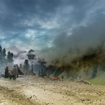
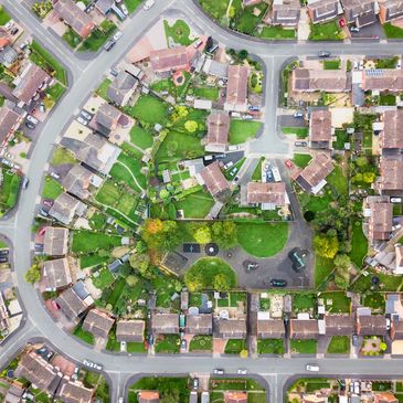
Land Management
Our aerial surveys provide comprehensive and detailed data about your land, including topography, vegetation, boundaries, and infrastructure. This information is crucial for effective land management, allowing you to make informed decisions and optimize land use.
Our advanced technology and software enable us to capture highly accurate aerial imagery and create precise maps and measurements. This accuracy is essential for land management tasks such as boundary delineation, land valuation, and resource planning.
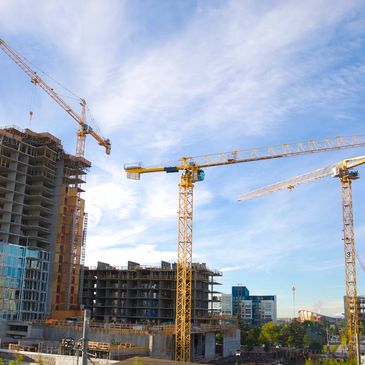
Construction Sites
Progress Monitoring surveys enable you to monitor construction progress effectively. We can capture regular aerial images and videos, allowing you to track the development of your project over time. This helps you identify any potential issues or delays and make necessary adjustments to keep the project on track.
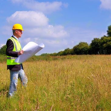
Property Management
We understand that every property management project is unique. That’s why we offer customized solutions tailored to your specific requirements. Whether you need regular property inspections, one-time surveys, or specialized analysis, we can adapt our services to meet your needs.
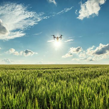
Agriculture
Development
At Thunderbird our airborne technology provides detailed aerial imagery and topographic data that are essential for site analysis and planning. The data we collect will allow you to assess the site’s suitability, identify potential challenges, and make informed decisions during the planning phase. Our precise measurements and mapping services ensure that you have accurate information for decision-making.

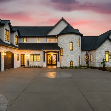
Marketing
We can create stunning aerial footage that showcases the development’s unique features, location, and surrounding amenities. This helps attract potential buyers or tenants and gives them a comprehensive view of the structure and landscape.
Aerial imagery adds a professional touch to real estate marketing materials. High-quality aerial images can make a property stand out from the competition and leave a lasting impression on potential buyers.
Inspections
Drones have transformed the process of building, bridge, and tower inspections. Eliminating the need for inspectors to physically access high-risk areas, such as rooftops, tall structures, or hazardous environments. We can access areas that are difficult or dangerous for humans to reach. We can fly close to structures, maneuver around obstacles, and capture detailed images and videos of the entire structure. This accessibility allows inspectors to identify potential issues or damages that may not be visible from the ground and with the use of high resolution cameras enables inspectors to zoom in and analyze specific areas or components, identifying potential defects or damages.
Using drones for inspections can be more cost-effective compared to traditional methods. It eliminates the need for expensive equipment, scaffolding, or hiring specialized personnel for accessing difficult-to-reach areas. Drones can quickly and efficiently capture high-resolution images and videos, reducing inspection time and costs.
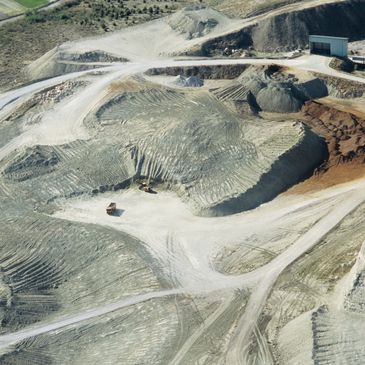
Mining