

Cinematic aerials &
VFX-ready captures.
The film and VFX arm of Thunderbird Geospatial. We fly, capture, and deliver close action cinema-grade aerials, hi-resolution imaging, and 3D scan data for productions in Manitoba and across the Globe.
Production-ready from plate to post.
One mobilization. Cinema deliverables plus survey-grade data your VFX team can actually use.
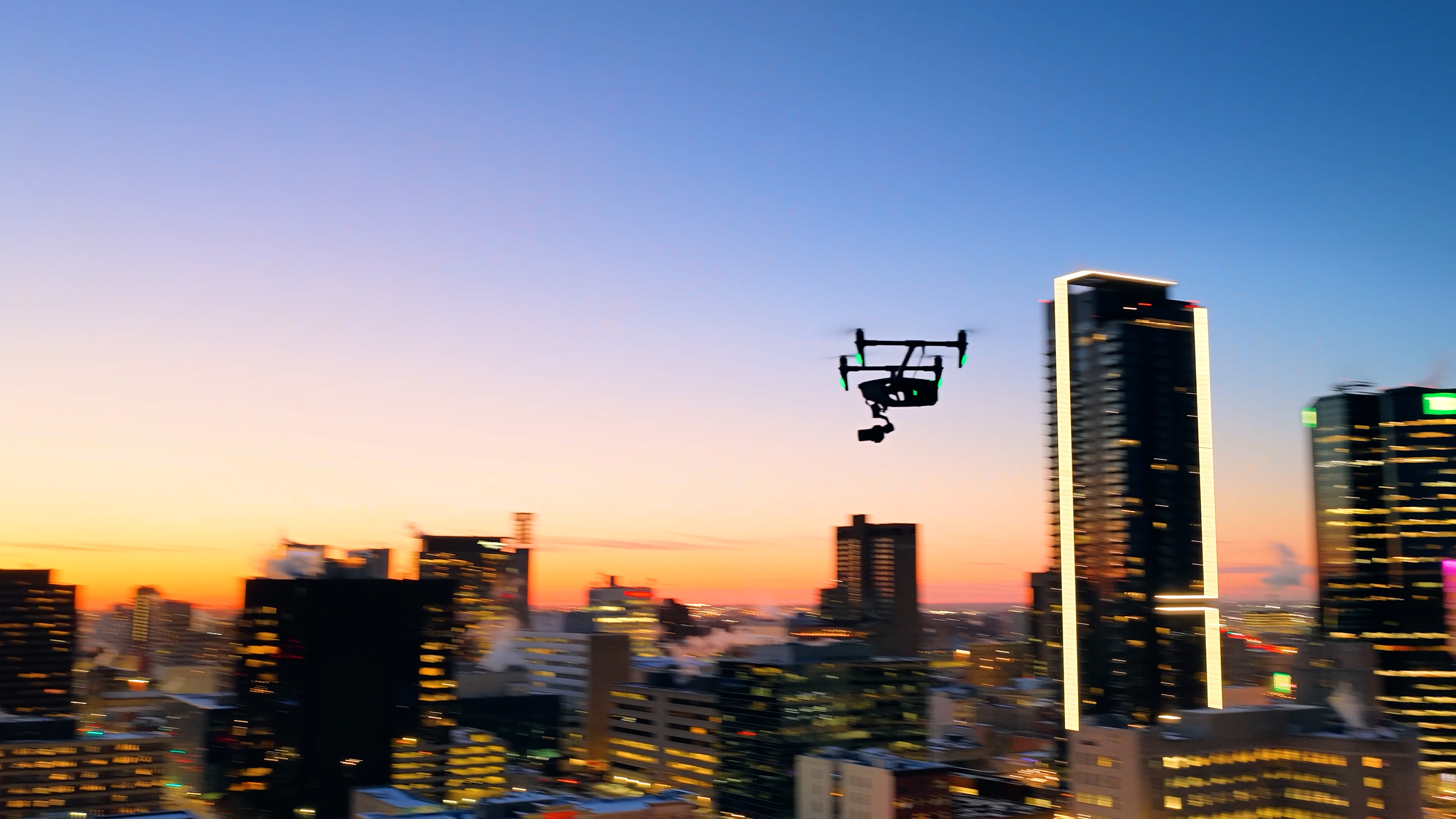
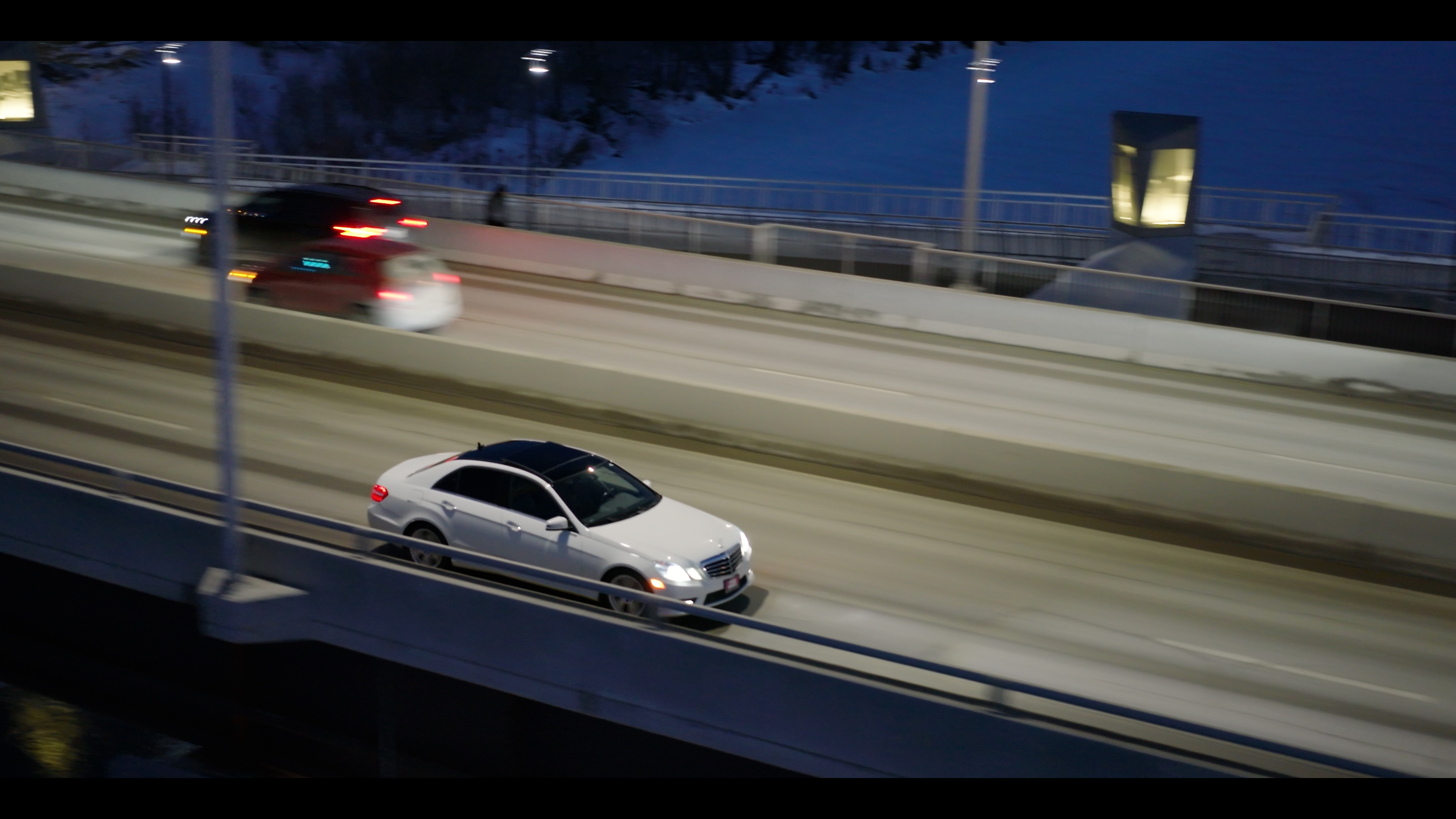
Aerial Cinematics
Cinema-grade close action drone cinematography for features, commercials, and episodic television.
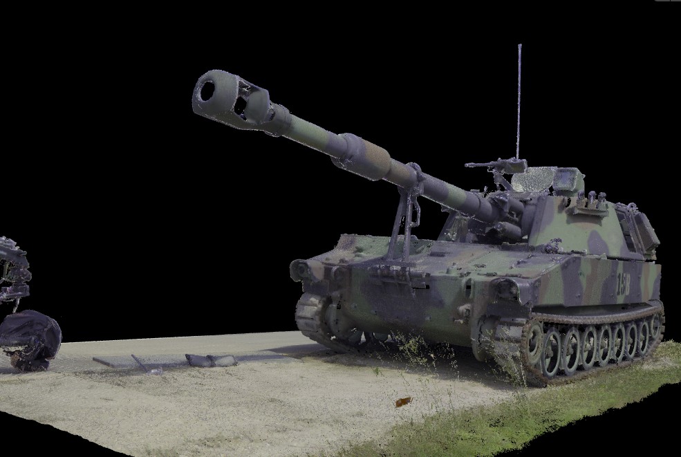
VFX Scanning
Photogrammetric and LiDAR scanning of props, vehicles, and environments — delivered as production-ready 3D assets for visual effects.
Gaussian Splatting
Photo-real radiance-field reconstructions captured from drone and ground passes for next-generation set extension and CGI integration.
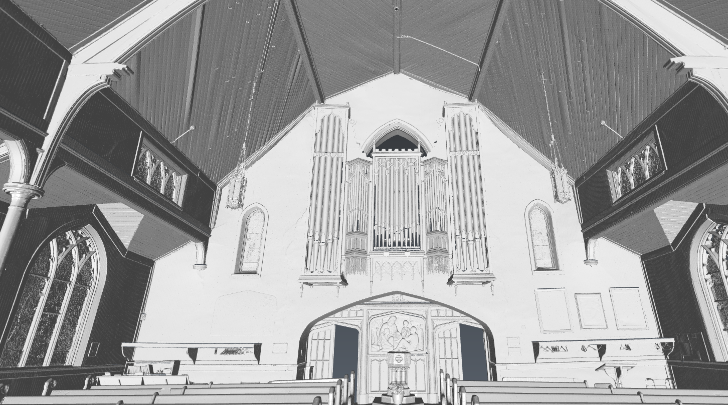
Set Scanning
Full-set captures with millimetre-grade detail for previs, virtual production, set extension, and post-production reference.
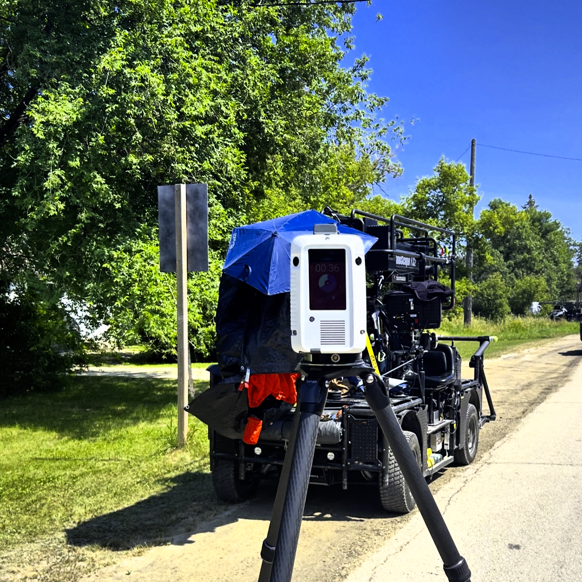
Photogrammetry & LiDAR Data
Both acquisition methods used in tandem — set, prop, and environment capture delivered as clean meshes and textures ready for production pipelines.
3D Data Meshing
Raw photogrammetry and LiDAR processed into clean, optimised meshes with PBR-ready textures — shot-ready for VFX, previs, and production pipelines.
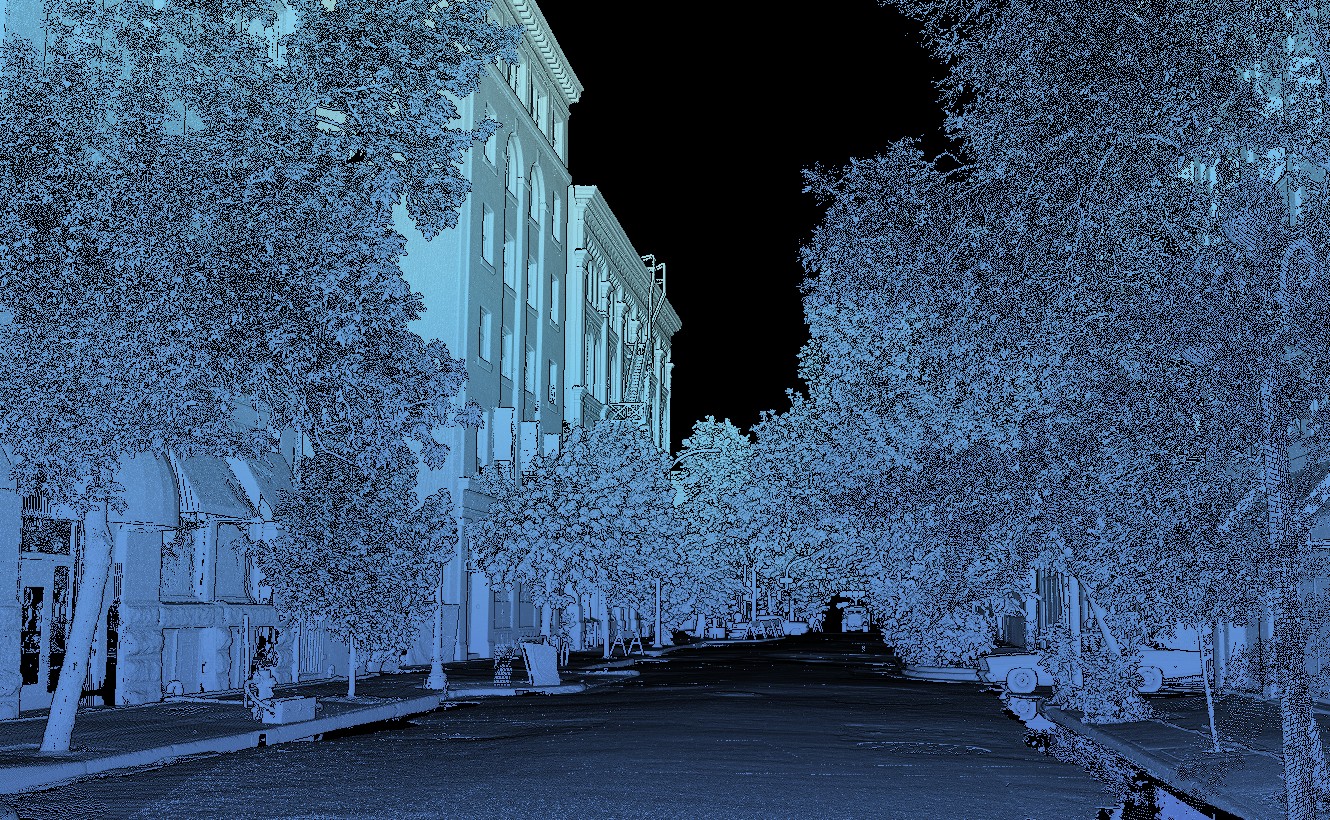
Capturing close action environments for both camera and post.
Detailed 3D environments and props from film sets and cinematic drone operations captured on location.
Pilots, post, and pipeline — under one roof.
TGI Studios exists because scanning precision and cinematic quality usually require two crews. We deliver both on a single call-sheet.
- Cinema-grade Inspire 3 / Close action workflows
- RAW, ProRes, and CinemaDNG pipelines
- Precision data + cinematic aerials in one mobilization
- Transport Canada Advanced RPAS operations